Friday, June 22, 2012

Northwest Mississippi was impoverished when we walked through 25 years ago and it seems impoverished today. Cathleen and I drove past homes flying the Confederate Battle Flag and sometimes that flag was flying by itself. People are proud of their state's history, but in Mississippi, it seems that some are content to live out their own reality that the South is still separate from the Union. I did not stop to take any photos of the flags, feeling that it my not be safe to do so.

The terrain is primarily flat with rolling hills. Trees cover most of the land where crops are not planted. The air is humid. As a kid, I wrote in my journal that we walked past occasional bayous. Dad and I were walking a segment through a small black community when I saw a kid playing basketball. The basketball hoop that was made out of an old plastic milk box attached to a pole with a plywood back board. I felt that it was so clever. I wrote about feeling guilty because I had a beautiful fiberglass backboard and basketball court that my father had built for Aaron and me back home. It was arguably the best in the neighborhood, and I used it only occasionally. I felt homesick, but I also wanted to join the kid and check out his homemade court.

Cathleen and I stopped in Holly Springs, MS to take some pictures of the town square. It was patriotically decorated with American flags because of Memorial Day a couple of days prior and the upcoming 4th of July. The town seemed deserted at about 7pm in the evening, but for some black young adults socializing just off the square. I passed them with a nod and a smile and continued walking to a better vantage point to snap pictures of the historic town.

Holly Springs had housed several Union generals during the Civil War. My family had attended a Presbyterian church that was built before the Civil War. The story goes that locals had begged the Union Generals to spare their beautiful church. It still had a slave gallery where African American slaves would have sat during Sunday services. It seemed strange to be standing in this town again with so much history. As I stood thinking about the past, one of the men who had been socializing just off the square approached me from the back and asked why I was taking pictures. I smiled and said that I was taking pictures of their historic town. He said, "Oh, its got a lot of history all right! Its historic!" He and a woman with him, continued on down the street.

As I was walking back to the car, the woman ran back to me and started telling me about how hungry she was and how she had lost her job. I asked her where her man was and she just mumbled that he  was somewhere else. Regardless of her motives, I felt compassion and reached to give her my last couple of bucks.

As I walked back to my car, I felt like I was being watched. About five minutes out of town a Chrysler 300 with all tinted windows rapidly approached our car from behind. It slowed and began to tailgate our car with its hazard lights on. The road was empty and it was in an area with a passing yellow dotted line. My senses were instantly heightened. I knew that I was not going to pull over, but strangely didn't feel any fear. After a couple of miles, the car pulled around us and whizzed off. A few minutes passed and suddenly the Chrysler was speeding towards us and back into Holly Springs.

It saddens me to think racism and ignorance still exists. This is perhaps more obvious in an area where some people are content to pretend that the Confederacy won the Civil War and slavery should still be legal.


Watching us watching him.


Driving into Holly Springs

Courthouse in Holly Springs

 Flag decorated town square.

Pre-Civil War First Presbyterian Church of Holly Springs, MS as seen in 1987.

Sunday, June 17, 2012

East of Clarendon, my family came across the original starting place of the survey for the Louisiana Purchase. Originally purchased from France in 1803, the surveying of the land began in 1815 at this spot in Arkansas. Unfortunately for the surveyors, it was in the middle of a swamp. Because of our crisscrossing segments with the car, we were able to drive the two miles off our course to see the monument.

When Cathleen and I drove to the same place, the water level was two feet lower than it had been 25 years ago. We learned from a friendly Arkansan that Arkansas was suffering from a bad drought, despite all the swamps in this area. We stopped our car and walked about 1/4 mile on a special boardwalk to the spot of the original marker. I saw strange bubbles emerging from the murky water surrounding us and witnessed the gurgling of swamp creatures. A strange and colorful lizard ran across the path in front of me, and I quickly scanned the boardwalk for any snakes that might have left the swamp for a dry place to rest.

We paused to take some photographs and then drove onward towards Helena, Arkansas on the banks of the mighty Mississippi River. The same giant steel bridge was still spanning the river dividing Arkansas and Mississippi. Across the river, there had been nothing but open farmland and trees back in 1987. Today there stands a mega Indian Casino on the Mississippi side of the river.

I remember being so excited to be walking across that river so many years ago. It represented a psychological milestone, and I knew that we were only a couple of states away from the Atlantic! Our walk through Mississippi was shorter than the other states because we were purposely skirting around the city of Memphis, TN. We had avoided big cities whenever possible for safety reasons.


Cathleen and I stopped at a Mississippi Welcome Center that had not been there when my family walked. The people inside were friendly, and it felt nice to be in an air conditioned room. Within the Welcome Center, many items, articles, and pictures showcased the proud elements of history and points of interest.

A few miles down the road, we began to see living history that told a less optimistic tale of continued racial divides and the evidence of widespread poverty.


Louisiana Purchase Survey Marker present time. Previous water level evident

Original 1987 photo 
Crossing the Mississippi River on March 25, 1987
Mississippi River bridge today

Thursday, June 14, 2012

Before celebrating the completion of my family's walk across the United States on the actual anniversary of June 5th, 2012 in Yorktown, VA, I had left our rediscovery in Texarkana on the Texas and Arkansas border. 

It was March of 1987, and after about a week of walking, my family stayed for a few days in Pine Bluff, AR at a Comfort Inn. We again experienced Southern hospitality when the hotel placed a message on its billboard wishing the Huff Family safe travels on its Walk across America. 

The stretch of country highways through Arkansas filled our ears with the sounds of frogs and insects. Much of the terrain was marshes and pine forests. The air smelled refreshing unless we were downwind of an unfortunate armadillo that had made an untimely decision to cross the highway and never made it to the other side. 

As we walked into Stuttgart, AR, we could see miles of rice paddies and huge grain elevators. The city is famous for the number of ducks and geese that stop on their annual migrations from Canada to U.S. and Mexico. Stuttgart got its name from German immigrants, and one can surmise that they missed their homeland. I could see the fabric of America in the communities of immigrants from all over the world. 

In my journal, I wrote that we had stayed at the Best Western Duck Inn. Cathleen and I stayed in the same hotel 25 years later. With all the changes with businesses closing because of the economy, we were surprised that it was still there and the nicest place in town.

A few miles past Stuttgart, the land changes to primarily swampland and marshes. The next major town past Stuttgart is Clarendon. On the way into town, we had walked nearly four miles of levies and long narrow bridges that had no room for pedestrians. For the last half mile, we walked a large narrow bridge over the White River.

As Cathleen and I drove through, I got chills thinking about the dangers we had faced crossing that stretch of highway. We stopped our car in Clarendon to have lunch at a little cafe called Bendi's Diner. They served traditional Southern fare such as fried frog legs and crawdads. Basically life found in the local swaps. They also served hickory smoked BBQ. Cathleen and I had fun eating food we would never have at home. We started with a basket filled with Cajun fried crawdads and Cathleen had frog legs that tasted surprisingly like fried chicken. Well... not surprisingly. I had a BBQ pulled pork sandwich and taught the friendly waitress about how to make an Arnold Palmer. 

After an adventurous lunch, we continued eastward. The swampland became more dense and the wildlife diverse. The sounds of nature echoed in the air where frogs could be mistaken for the the songs of birds in the trees. Within this swamp, the boundaries for the Louisiana Purchase were conceived.

The Duck Inn
Narrow levies and bridges for miles on the way into Clarendon, AR
Bridge over the White River
Bendi's Diner
Take yer pick. It's all good!

Has to be eaten with the right Cajun dipping sauce!
Getting full fast.

Wednesday, June 6, 2012

Steps from our goal at the Yorktown Victory Monument-June 5, 1987
Yesterday marked the 25th anniversary of finishing a 3,062 mile walk across the U.S. with my family. As Cathleen and I were driving down the Colonial Parkway that connects Williamsburg, Jamestown, and Yorktown together, we could see the gray sky above us against a backdrop of lush green trees. A light rain fell intermittently, and it was considerably cooler than it had been so many years ago.

We arose early on that final day 25 years ago. Through the eyes of a 13 year old, I was in disbelief that we were actually going to achieve our goal that seemed insurmountable just nine months before. Grandpa drove the four of us out one final time to Jones Mill Pond on the Colonial Parkway where we had left off the day before. Aaron and I could hardly contain our excitement! We laughed and tussled as brothers often do. The occasional sting of the tenacious May fly hardly bothered us because nothing was going to hinder us today. A couple of miles into our final day of walking, the trees to our left gave way to sandy shores of the Chesapeake Bay. I remember thinking, 'Why couldn't we just finish here!' But no, it had to be in Yorktown. 

My parents had chosen this location to finish our walk across America because of its historical significance. British General Charles Cornwallis had surrendered at Yorktown to General George Washington ending the American Revolutionary War in 1781. They could not have chosen a more beautiful and perfect location.

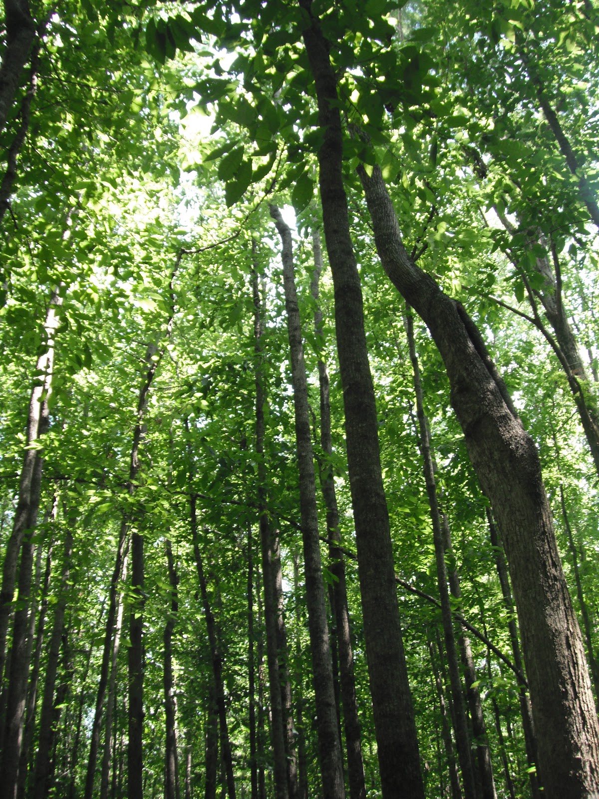
After a couple of miles, we were hiking away from the beach and back into the woods. The preview we had just experienced along the beach made us want to sprint the remaining distance. My heart pounded through my chest and anticipation mounted. As we walked past the Yorktown Battlefield and into historic Yorktown, the four of us stopped in front of a giant monument dedicated to the victory that ended the Revolutionary War. On that final walk day, the monument was symbolic of accomplishment and served to beckon us the last few hundred feet to our own victory.

As we approached the beach, my grandparents were waiting along with reporters and photographers. They were there to document this historic moment. Little did we know that the stories being written about the completion of our walk would soon catch the attention of the White House.

Yesterday morning, Cathleen, dropped me off a couple of miles shy of Yorktown Beach. This time, I had an umbrella in hand. The rain had stopped for good though. I used it as a walking stick. I paused on a bridge to look into the creek below. My eyes fell upon an ancient turtle that was easily two feet long and undoubtedly close to 100 years old. I smiled and took a couple of photos. I felt like a kid, exploring a world that is missed by the cars racing by as I slowed life down to a walk once again. I continued the remaining distance to the beach filming the road ahead and sharing my thoughts about taking the walk. I missed my family today and wish they could have been here with me. 

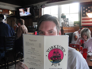
This time, Cathleen was waiting at the beach. She smiled while taking pictures and video as I sat on a bench, removing my shoes and socks like so many years ago. I slowly walked into the waters of the Chesapeake Bay on the Atlantic, creating solo footprints on a freshly raked beach. I felt gratitude to God and my parents. I felt gratitude for the countless people that helped us along the way. After thanking God, Cathleen and I walked across the street for a savory lunch at the Yorktown Pub like we had done so many years before...
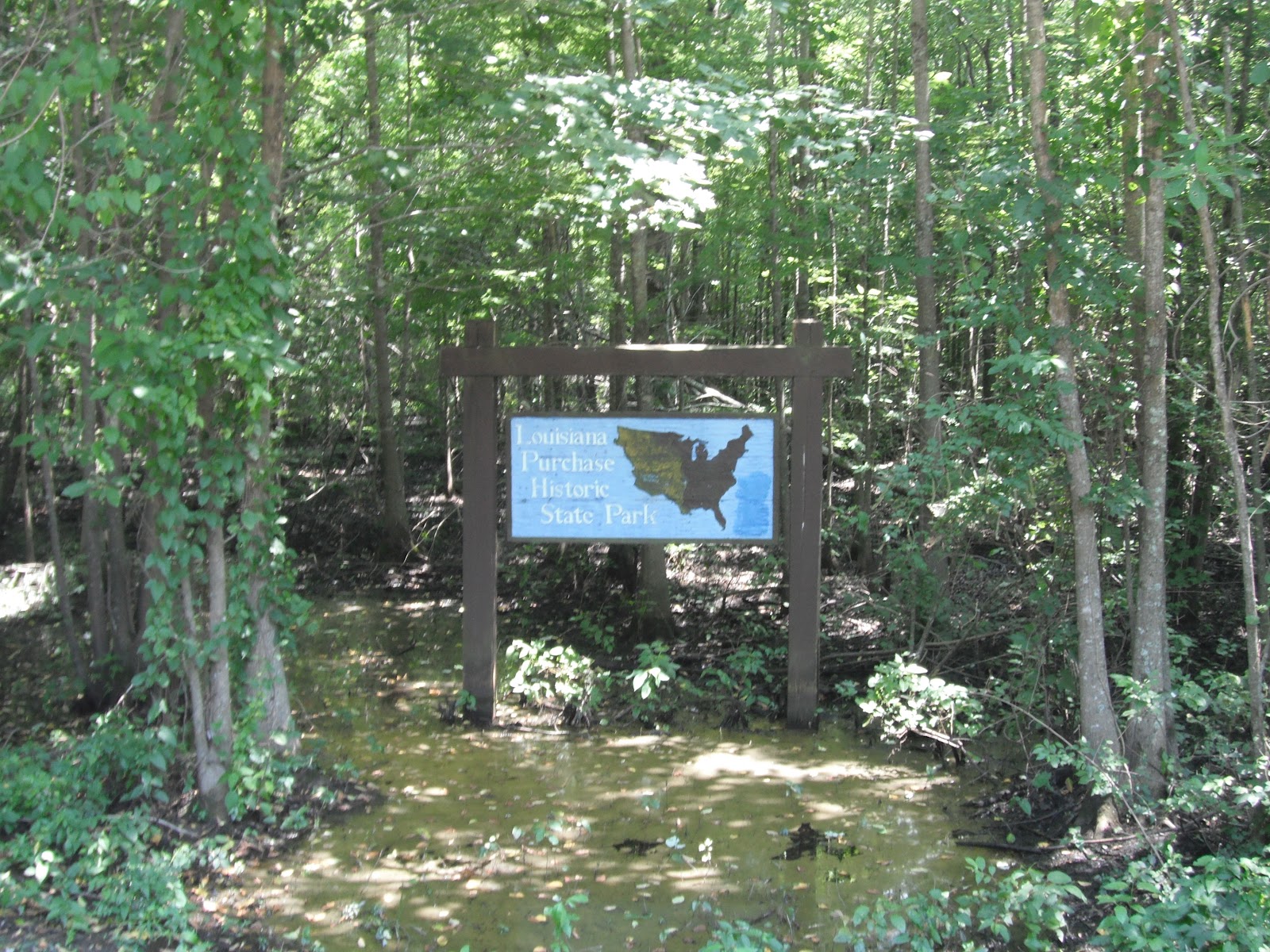
The Colonial Parkway
Along the the Parkway
A few more miles!
Starting place of the final day of walking. June 5, 1987

View of a giant turtle from the bridge above.

Yorktown Beach, Chesapeake Bay


Looking down the beach to the north.
Yorktown fishing pier.

Lunch time!


In a few days, Cathleen and I will drive to Tennessee and back into Virginia exploring the rest of the original walk route. More posts to come in the upcoming days when the rediscovery continues.


Saturday, June 2, 2012

This rediscovery has been priceless in so many ways. My original time table is turning out to be too optimistic, forgetting that people and places should not be rushed. With this in mind, I will be posting again on June 5, 2012 after commemorating the 25th anniversary of completing my family's walk across the United States. I want to assure any of you who have traveled along with us through this blog, that Cathleen and I will rejoin you again in about week. We will continue to retrace the last portion of the walk from Arkansas to Virginia through some absolutely incredible country. The tales and the experiences we are having continue to humble and amaze us.

See you on Tuesday June 5th when I dip my feet into Chesapeake Bay on the Atlantic for the first time in 25 years.